
OngwanNingboOn september 28th, the weather station in ningbo city (journalist cao mei jia) issued an ultra-typhoon alert today at 12 noon, with central locations today at 11 o'clock, located 123. 5 degrees east, 23. 6 degrees north latitude, 723 km south-south-east of ningbo, air pressure at 930mpa, maximum wind power of 16 degrees (55 m/s) near the centre, currently moving towards the northwest at 20 km/hour, with a seven-stage wind radius of 310 km, and a 10-grade wind radius of 150 km。
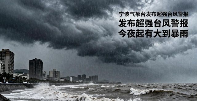
It is expected that the duo will move to the north-west at a speed of 20 kilometres per hour, landing in the northern coast of taiwan between the evening and the evening, then across the typhoon strait, and landing again tomorrow on the north-central coast of fujian. With the duo, ningbo will be big this night until tomorrowHeavy rainsSome of the storms were heavy; there were major north-east winds of class 9 to 11 along the coast and large winds of class 12 to 14 in the vicinity of the typhoon centre。

In addition, typhoon doo-sing was in the middle of the astronomical tide, and the ningbo ocean forecast has been releasedStorm surgeYellow (iii) alert and wave iii alert. Monitoring by the ningbo metropolitan hydrological station, it is expected that the ningbo coastal climax will increase by 0. 6 to 1. 0 metres and that the three estuaries and town seas will exceed the guaranteed water level by almost two days。