Are these geographical terms often “obfuscated” when you look at the weather forecasts? It is often not known what is specifically meant
According to the china meteorological service, new rules were introduced this year using many years of forecasting geographical terminology. Those geographical terms that have made you “mixed” — north china, north north west china, west china, hwang huai, jiang huai and jiangnan — will no longer appear frequently, replacing them with simple and comprehensible “western beijing”, “north lakes”, “south kong su”。
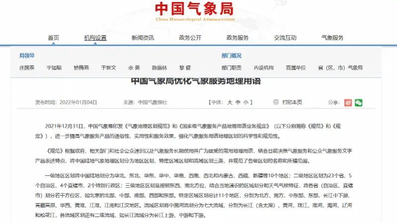
On 31 december 2021, the china meteorological service issued the regulations on the geographical distribution of meteorological services and the operational regulations on the use of geographical terms for national-level meteorological service products (hereinafter referred to as the norms and regulations, respectively), which further improve the generality, practicality and service effectiveness of meteorological service products and strengthen the scientific and normative character of the geographical classification of meteorological services. As a result of this adjustment, the national meteorological service product will only in a limited number of cases use the names of the first-level zoning (e. G., north china, east china) and of the specific zoning (e. G., jiangye, hwang huai) and will be converted from the “principal army” of geographical scope to 34 provincial administrative districts known to all professions and the public, such as western inner mongolia and central guangzhou。
The code classifies china's terrestrial meteorological geographical areas into three categories, regional divisions, specific zones and watersheds, based on long-standing and widely accepted geographical terms used by the government, relevant sectors and the public at large, as well as by meteorological services, taking into account the current presentation of decision-making meteorological services and public meteorological services, and regulates the name and scope of zoning at all levels。
The first regional division divides china's land into 10 regions, including north china, north-east china, east china, china, south-west china, south-west china, north-west china and inner mongolia, tibet and xinjiang; the second regional zone into 23 provinces, 5 autonomous regions, 4 municipalities directly under the central government and 2 special administrative regions; and the third regional division into a number of provinces (autonomous regions, municipalities directly under the central, south, west and east of beijing) based on east-west and north-south locations, taking into account local general knowledge of the region and weather weather characteristics. A total of 11 regions are divided into the north, the south, the central east, the east, the middle and lower yangtze river, the qinghuai plateau, wahxi, huang huai, jiangye, jiangnan and jianghan regions. The river basin divides the rivers of china into seven main basins: yangtze (hongjia lake), yellow river, pearl river, wei river, sea river, lia river and ponghua river. The river basins are divided into secondary basins, such as the yangtze river upstream, midstream and downstream。
According to the regulations, geographical terms for national meteorological service products should be concise, comprehensive and general. In general, the title should use the names of the secondary and tertiary sub-districts of the territorial division, such as “north and south”, “north and south”, “north and south”, as in the case of provinces, such as “kyojin zhuru” and, in principle, not the names of the mid-level sub-districts and of the specific regional sub-districts and of the cities and counties, except for those of more than seven of the provinces involved in the use of the first and specific sub-districts; where a basin or sub-basin is involved, the names of the middle or secondary basins of the basin, such as “advanced upper river”, should be used. The text, which uses the names of the medium-level second and third-level subdivisions of the regional division, still does not accurately describe the area concerned, can then be combined with the actual use of more detailed subdivisions, such as city and county names; the list of extreme weather events, extreme values and major regional subdivisions can be refined to the city and county, but the names of the provinces (autonomous regions, municipalities directly under the central government) to which they belong should be added。
The code also makes it clear that state-level operations and scientific research units use the geographical expression of meteorological services products, and that the provinces (autonomous regions, municipalities directly under the central government) may elaborate local regulations for the geographical distribution of meteorological services, taking into account the weather characteristics and service needs of their regions, and report them to the department of forecasts and networks of the china meteorological administration。