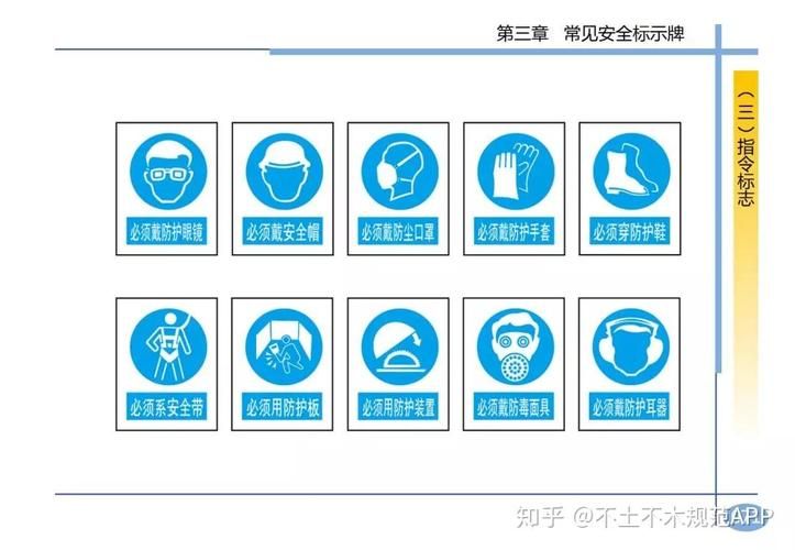
Standard, etc
Plasma surfaces used to represent and analyse atmospheric conditions (100, 925, 850, 700, 500, 400, 300, 250, 150, 100hpa) [equivalent side -- - the curve of the earth's atmosphere with the same pressure] page 1, 22 pages. The meteorological element is connected to the points equal to the points in the coordinate plane of the equivalent line. E. G., barbed wires, thermolines, contour lines。
Most of the analysis of weather forecasts and charts is of the same value line
Page 2, 22 pages. Atmospheric circulation
Large-scale atmospheric phenomena. A horizontal scale of more than several thousand kilometres, a vertical scale of more than 10 km and a time scale of more than two days. Page 3, 22 pages. Tropical cyclones originate in tropical and subtropical waters, accompanied by a converse and visible cyclone-directed, non-fronty weather-scale cyclones. Internationally, four-strength scales according to maximum ground wind power near the centre: 1 typhoon [north-west pacific] hurricane [north atlantic] —maximum wind force 12 or more, strong tropical storm 10-11 level 3, tropical storm 8-9 level 4, tropical low pressure 6-7 level 4, 22 pages. Low-air wind cut
A mutation of wind direction and/or wind speed below 500 metres at a certain distance in space. In the case of runways, there is a significant threat to aircraft landings and landings。
Authorities have a relatively strong circulation, with reports to be included in the observation papers in the event of wind cuts having a significant impact on the flight, taking off and entering all runways of the airport and taking off or landing below 500 metres. Page 5, 22 pages. Contrast
Weather vertical atmospheric movement. The resulting weather phenomena are thunderstorms accompanied by thunderbolts and lightning, and the intensely rotating plume of funnels that are stretched by current weather tornados from rain clouds, which usually cause heavy downpours of irradiated catastrophic winds on or near the ground. The frequent occurrence of thunderstorm clouds is sudden and destructive and represents a major hazard to flight activities. Page 6, 22 pages. A narrow excess belt between two gases of a different thermal nature on the front. A the static front is moving slowly and in a quasi-static state. It's more common to call jiang yee still. B temperature cooling groups take the lead and drive in the direction of heating groups. The c-heating group leads and moves in the direction of the cooling group. Page 7, 22 pages. It's too cold
The temperature of the liquid drops below the freeze point of the solid state of the substance without freezing. Like frozen precipitation fzra. Page 8, 22 pages. Cold tide
The cold air in the polar or cold zone is a large-scale intrusion into lower middle latitudes。
China has set the criteria for the cold tide:
Within 24 hours, the temperature dropped by more than 10 degrees and the minimum temperature fell below 5. Page 9, 22 pages. High current
In the upper or stratosphere. There are large winds that cut horizontally and vertically. Wind speed is limited to 30 m/s and clouds are clouded and located on the right of the flash axis. There's a strong rush。
Page 10, 22 pages. Effective visibility this refers to the maximum horizontal distance that can be reached in more than half of the field of view around the site. China's civil aviation observations and reporting are currently effective visibility. B leading visability is the maximum horizontal distance that can be reached within half or more of the horizon around the site. Aero-meteorological use leading visibility, japan and the united states. Runway visability the maximum distance from which the runway itself or the object close to the runway [a designated runway border lamp at night] can be identified along the direction of the runway. Page 11, 22 pages. Visibility d vertical visibility : vertical vision of observations. Vvhshsss e optical visibility mor [meteorogenic opticalrange]: when parallel beams from incandescent lamps are absorbed and dispersed in the atmosphere at 2,700 k, the beam declines to a distance of 5 per cent. In general, the maximum value set by awos is 3,000 m, which represents the visibility of the runway when the value is less than 3,000 m. Flight visibility, ground visibility, standard visibility, tilt visibility, minimum visibility 12 pages, 22 pages. Runwayvisualrange at the mid-runway, the pilot on board the aircraft can see the markings on the face of the runway or the distance of the runway border or mid-lights. According to caac, rvrs are only for instrumentation. At the airport? It provides that when the aircraft leaves, the weather conditions of visibility of less than 800 metres shall be rvr. Page 13, 22 pages. Fuzzy radiation fog - the temperature of the near-ground gas layer cools down to the dew point, i. E. The fog formed by the water vapour reaching saturation and cooling condensation. Fluctuation - the fog formed by the cooling of the warm and wet air through the cooling of the lower cushion. Evaporation fog: water temperatures are higher than temperature and water vapours evaporate on warm surfaces cool. Rain fog: raindrops falling from the clouds above the edge evaporate in cold air, saturating the cold air. Uphill fog: fog is formed by heat cooling as wet air slides along the slopes. Page 14, 22 pages. Pressure a station air pressure - means weather station [station] pressure gauge [or pressure sensor] the pressure at the height. B. Air pressure qfe - refers to the landing area of the plane. Top pressure. C amend sea level gas pressure qnh - the surface pressure is revised to sea level in accordance with international standard atmospheric conditions. D sea level air pressure qff - typically means the pressure of this station's air pressure revised to sea level height. E standard atmospheric pressure - air pressure at sea level under standard atmospheric conditions. 1 standard atmospheric pressure = 1013. 25 hpa = 760 mm hgcaac, as recommended in annex iii to the convention on international civil aviation, for dissemination to the airport for the use of modified sea level air pressure qnh, in hpa, with partial non-reporting. For example, a revised sea level air pressure of 1004. 9 hpa was observed, and q1004 was reported. Page 15, 22 pages. Meteosat polar orbiting satellite [h: 350-1500km] geostationary satellite [h: 35860km] products: image products, quantitative products, graphic and analytical products, cloud maps, visible cloud maps, infrared cloud maps, water vapour maps
Meteorological satellite exploration plays a major role in weather analysis forecasting, atmospheric research, and environmental detection, such as cloud vectors, typhoon guides, snow cover, fire